SHR DAY 1

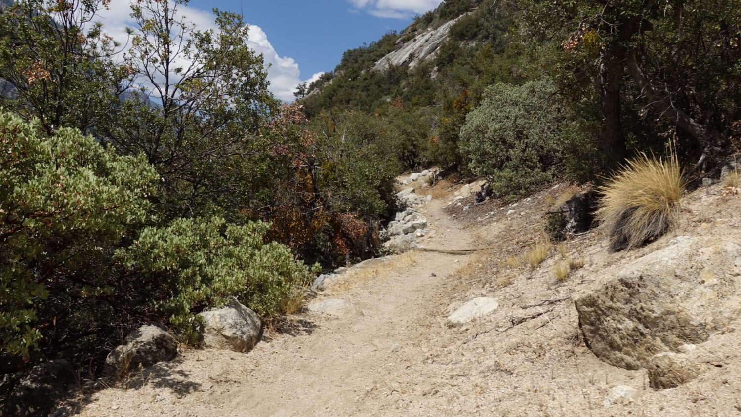
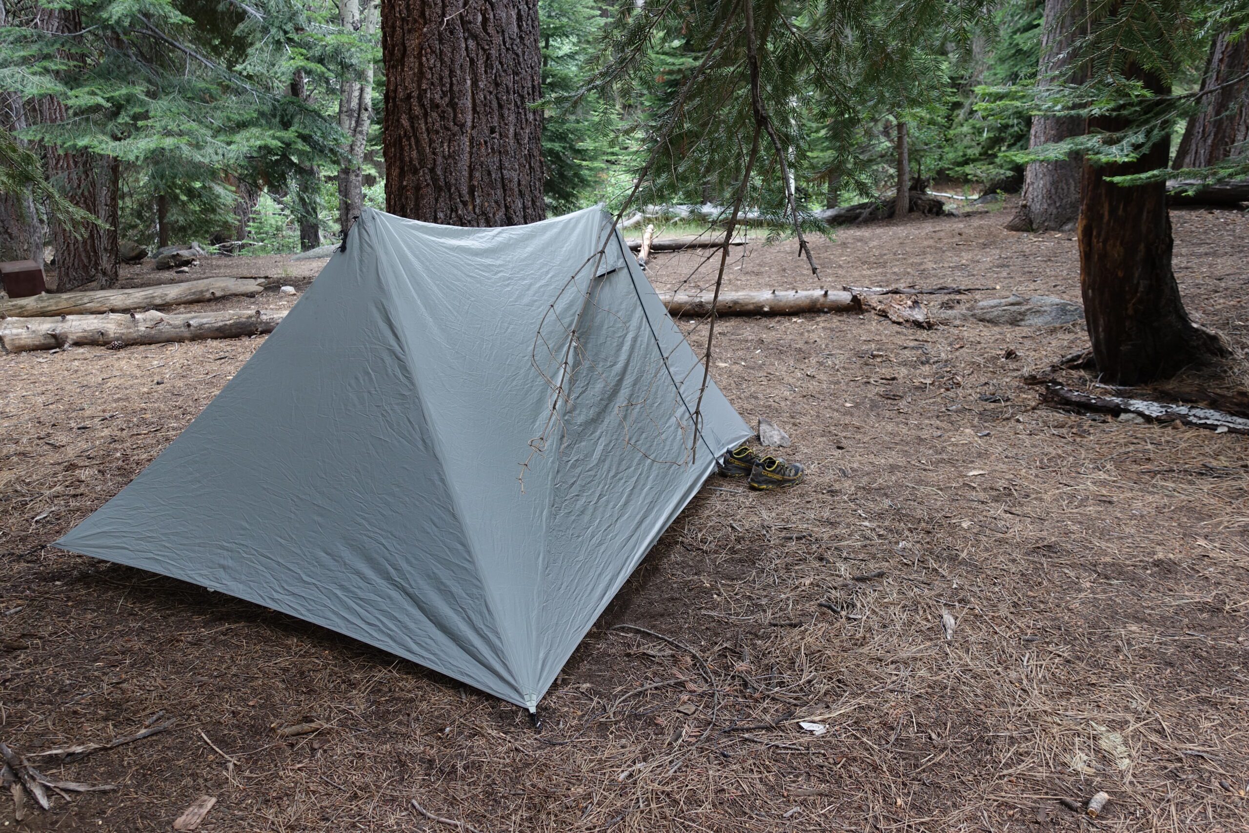
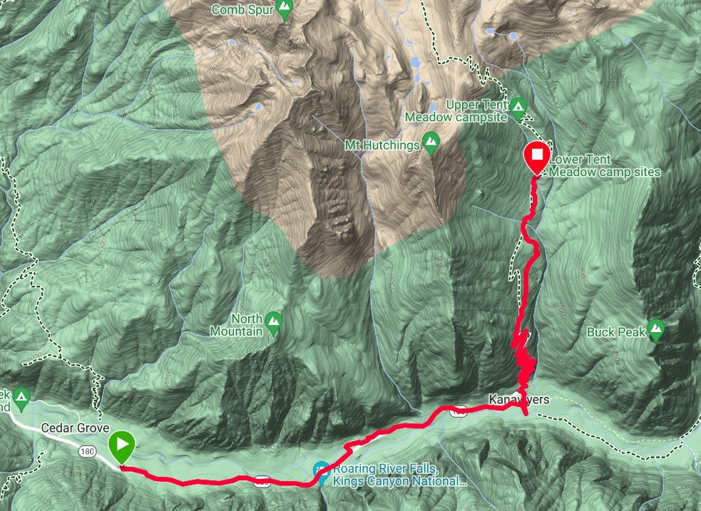
Moraine campground to Lower Tent Meadow
Distance: 16km Elevation Gain: 1,000m

The first day’s route. 8km on the road from the Moraine campsite and then another 8km up the Copper Creek trail to a site at the Lower Tent Meadow.
Huge Sequoia tree on the way to the trailhead

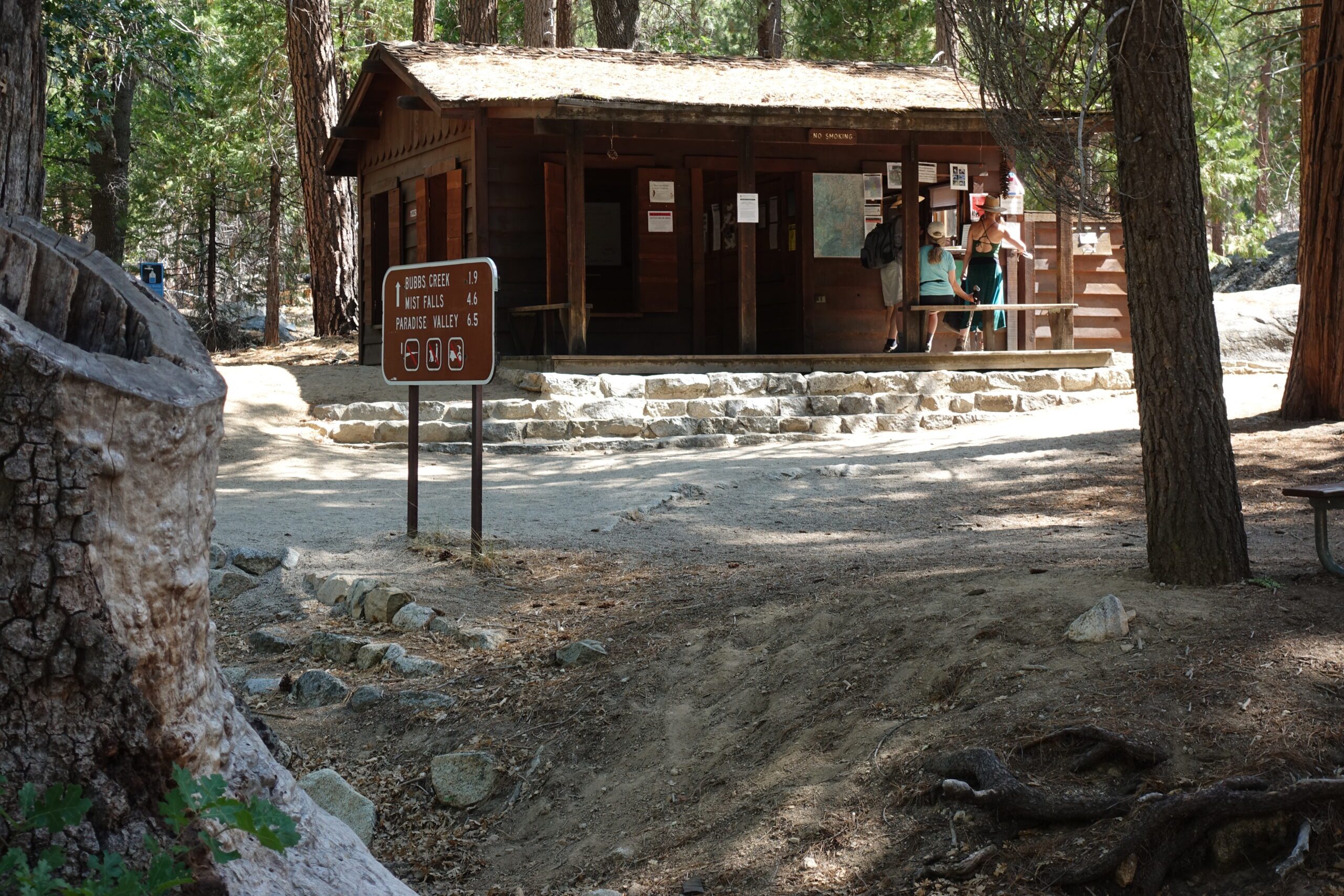
The anticipation and excitement was building as I picked up the most important item for this trip – the permit, which officially allowed me to hike through the Sierra’s for the next 3 weeks.

The Ranger station & Permit Office where a park ranger checked that I had a bear cannister and explained all the rules and regulations I would have to follow in the mountains.
The Southern trailhead of the SHR starts on the Copper Creek Trail at around the 5,000 foot level. It was 10:30am, here I go!
The Copper Creek Trail was well built with an abundance of switchbacks but it was hot (31C) and the water sources were less frequent than hoped. I did manage to find a couple of small streams on the way up for which I was grateful.

Hiking up the Copper Creek Trail
Great spot to set up. Flat ground, a creek nearby and metal bear box to keep any bears from stealing your food which would be particularly maddening on day 1 of a 3 week hike. Even though I did have a bear cannister the security of a bear box was appreciated. Later that night I did hear a bear sniffing around outside my tent. He was very close so I said in a loud voice, “Hey! What are you doing out there?”. Wow, I’ve never heard a bear run so fast! He was gone in seconds and back to sleep I went.

Home Day 2
or Choose Day Below