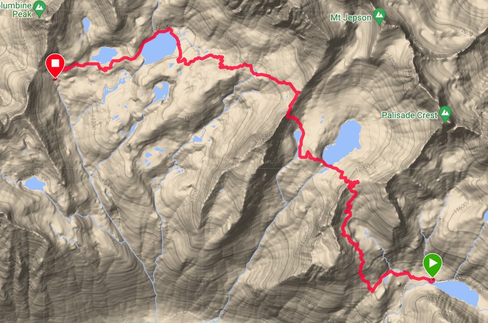
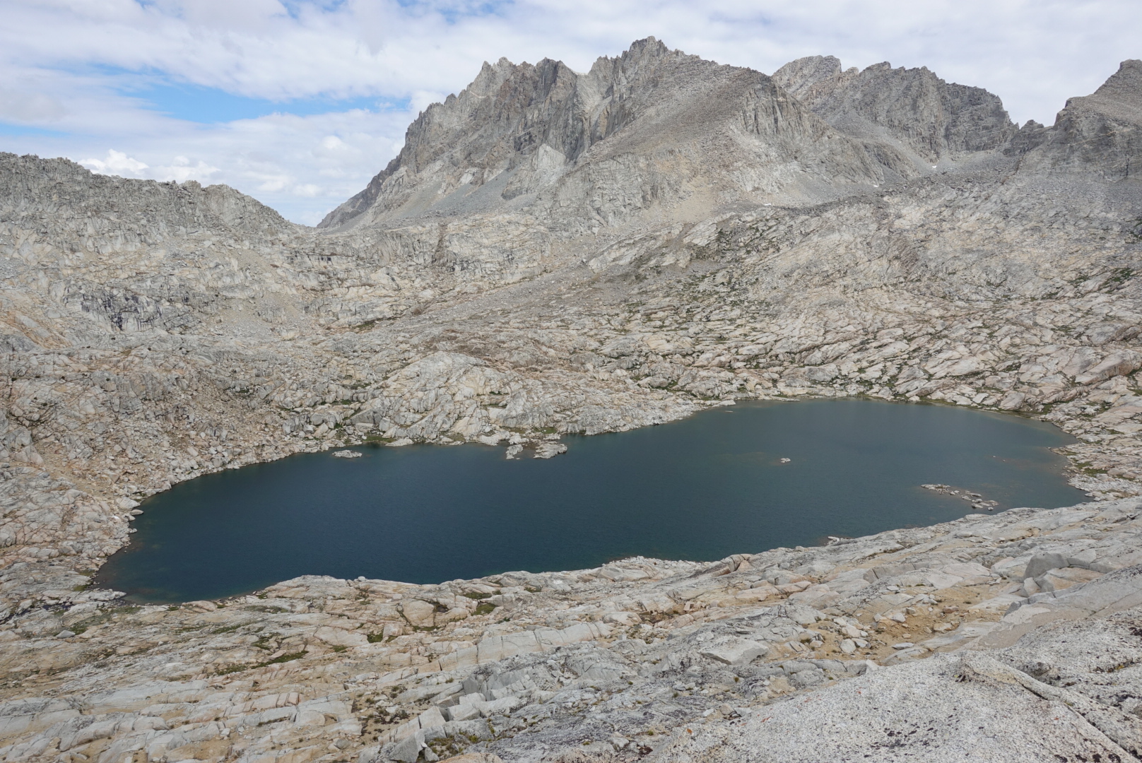
Lower Palisade Lake to the base of Knapsack Pass
Distance: 10.70km Elevation Gain: 800m
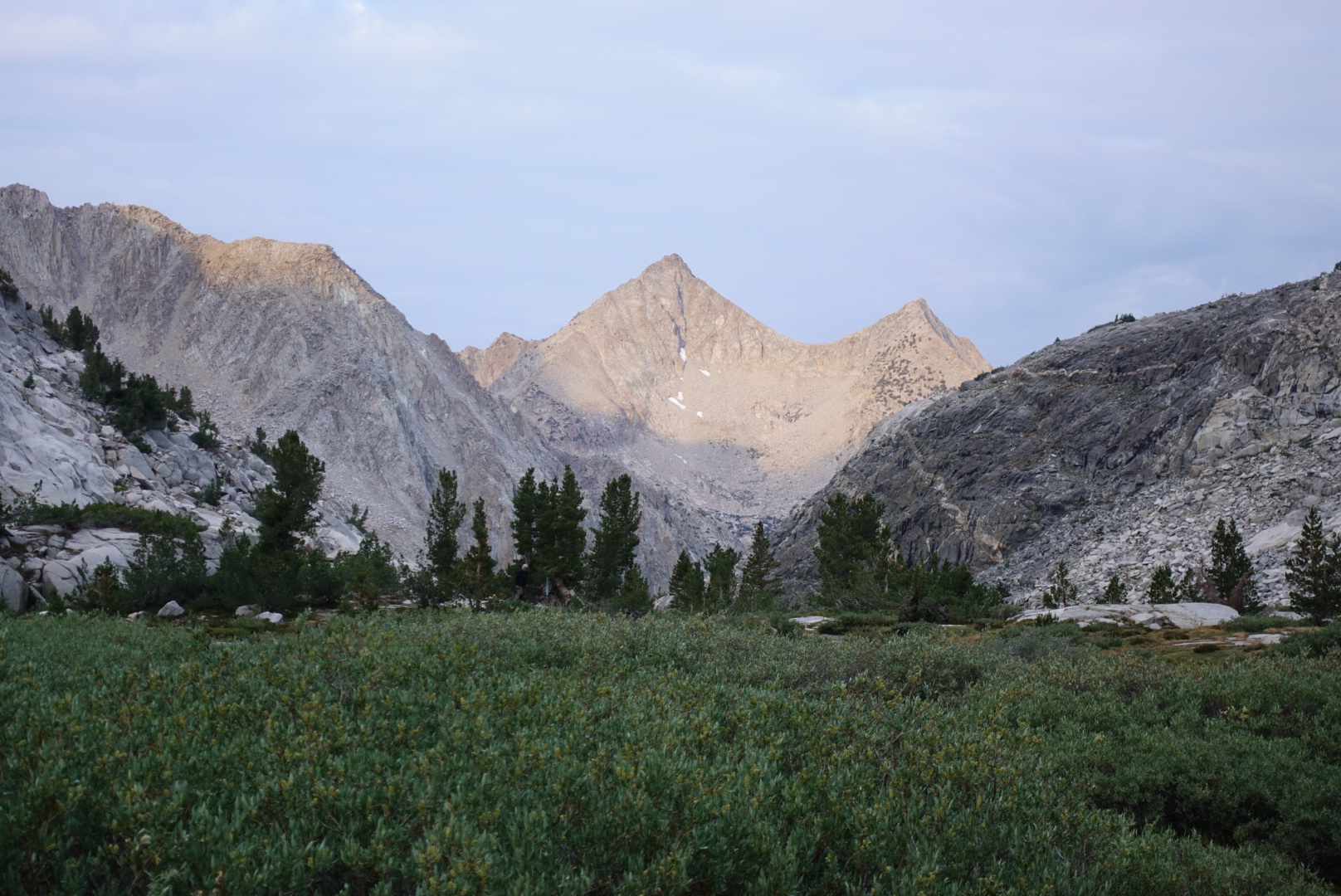
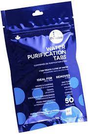
Shortly after taking the above photo early on Day 5 I pulled out my water purification tablets. I’d much rather be filtering the water but these are a decent second choice. While attempting to extract one from it’s blister pack something was wrong. There was no ‘tablet’, I was pushing out a wet gooey substance. They were expired, long expired or had been wet and absorbed moisture it would seem. Either way they couldn’t be trusted. What now?
I thought over my choices;
1. I could hike out and buy more tablets or a filter but it might take up to 3 days to do so and in the process I’d be drinking untreated water on the way out anyways.
2. I could ask other hikers if they had any extra tablets they could spare, but that didn’t seem right as I didn’t want to deprive others of their backup options.
3. I could drink unfiltered water and take my chances.
To me the choice came quickly as I was too stubborn to leave the route. I felt I could reduce the risk by waiting to drink and fill up my bottles from the coldest and highest streams where the snow had only most recently melted. The writer of the SHR guide book, Steve Roper, had said that he mostly drank unfiltered water in the high country for over 40 years and never got sick.
The decision was made and I hoped for the best. Onward to Circ Pass.
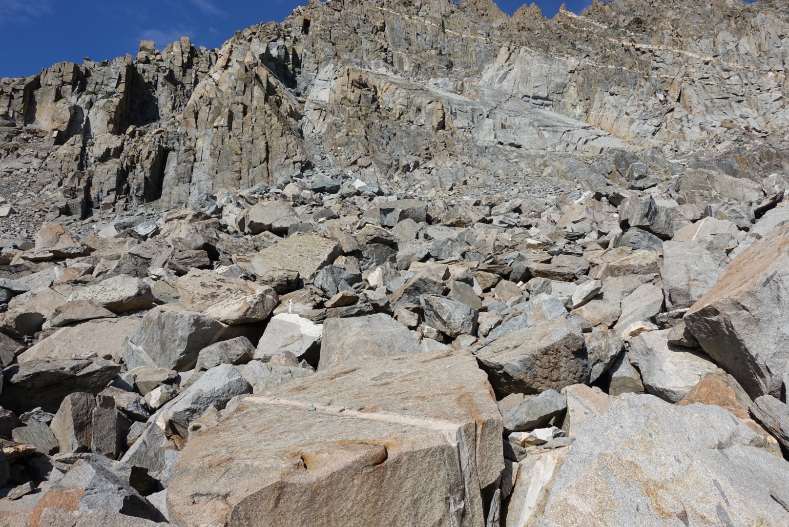
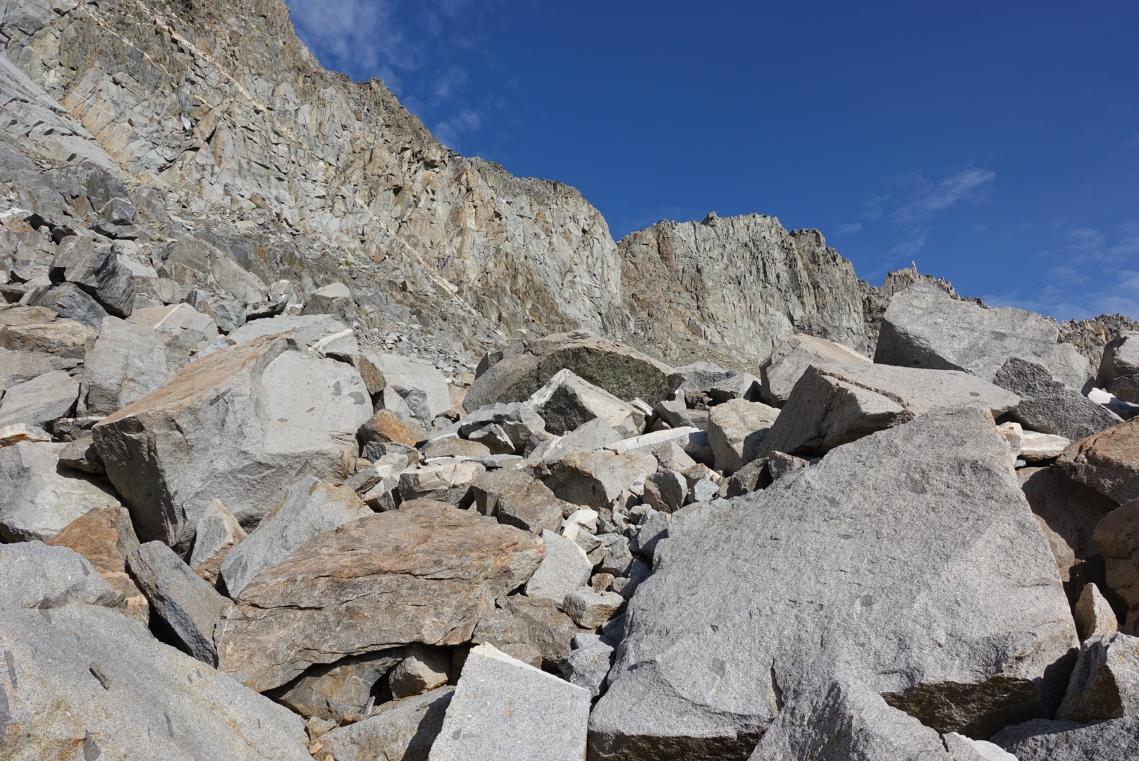
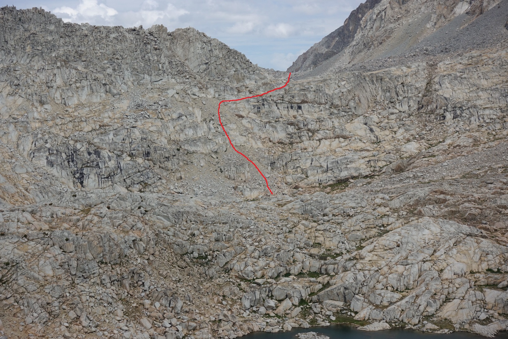
The first obstacle for the day after some upwards hiking was a cliff band that halted progress like a stop sign. The guide book recommended heading over to the left side where it was safer. I found a line that looked good but still had to make one move that was admittedly more sketchy than I liked.
Once past the cliff bands the guide book had said there should be little trouble finding gently angled slabs and gullies leading to the pass. Unfortunately I ended up ascending more talus and boulders and when I got to the point where I could see the easier line to my right there were steep cliffs preventing me from heading over there. I just had to laugh at myself and shake my head, at least I was getting a good workout, haha, yeah that’s it. (wipes tears from his eyes).
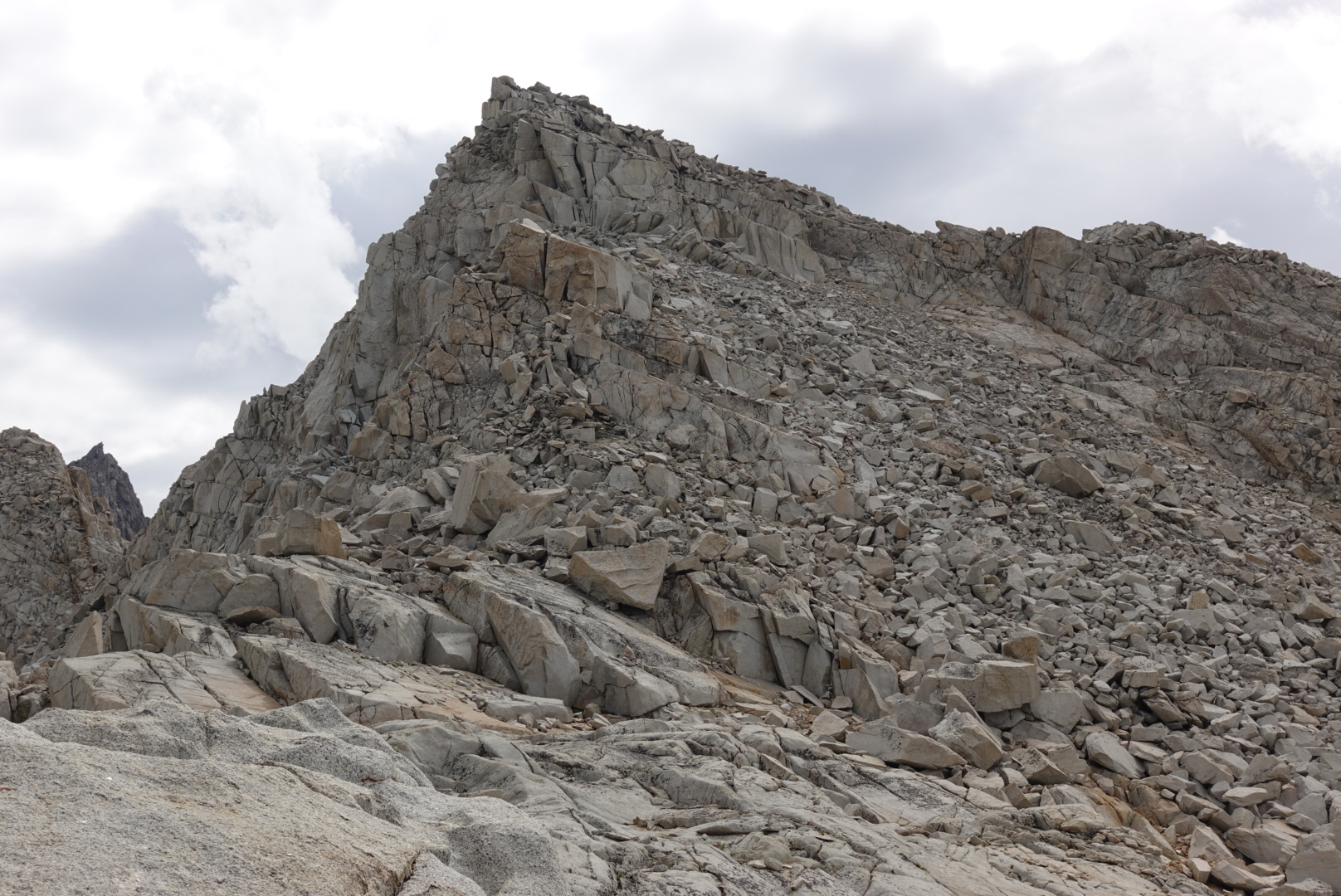
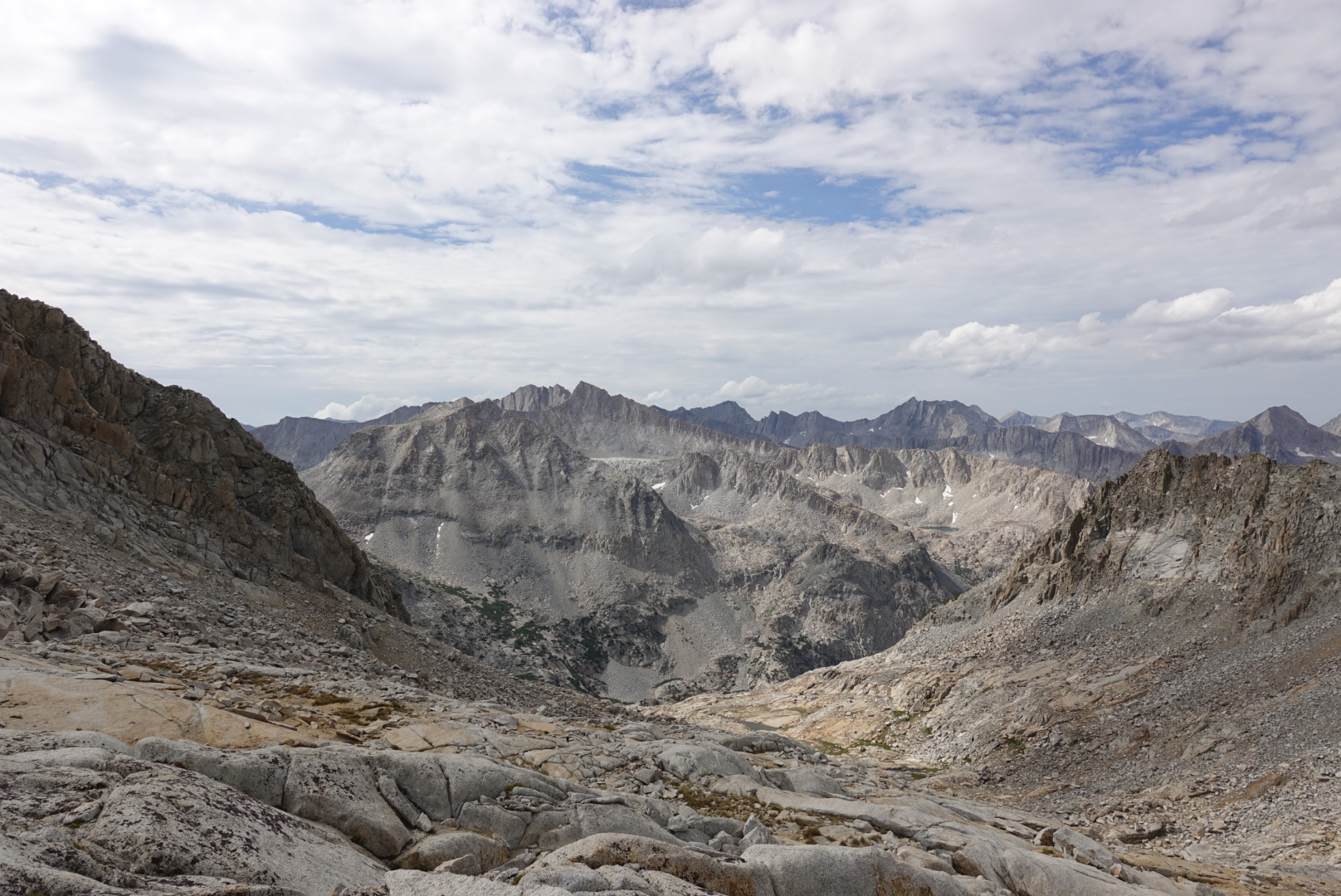
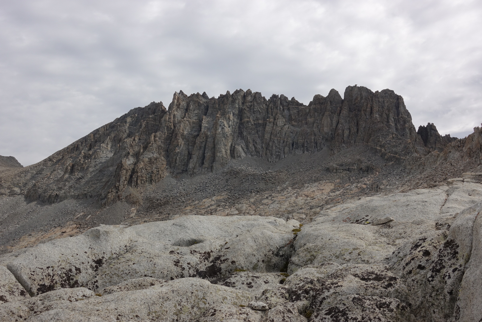
Moving past Potluck Pass into the Palisade Basin, next in line was to be Knapsack Pass, Dusy Basin and then steeply down into Leconte Canyon where I planned on spending the night. I didn’t make it. Day 5 marked the first of 6 days of rain that often halted progress right before a pass.
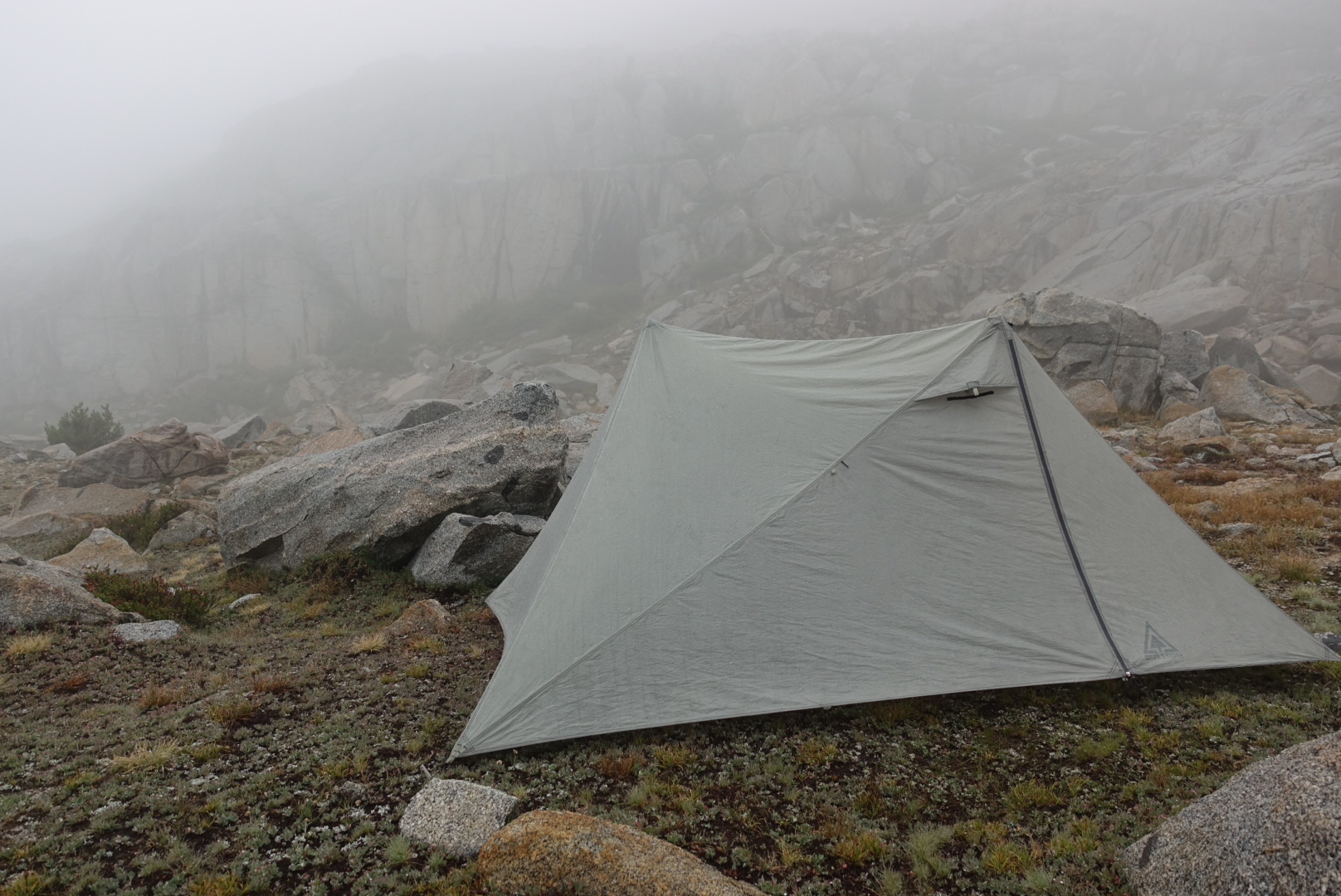
Dark storm clouds gathered and the rain started around 3pm when I was 3/4 of the way up Knapsack Pass. Lightning is a real danger when on a pass so I headed down to the base and set up my tent. Just in time! Five minutes later intense rain, hail and lightning filled the air. Whew, good choice to stop. I was low on water so I put my 4 cup pot outside and with the help of runoff from the tent it filled up in 10 minutes.