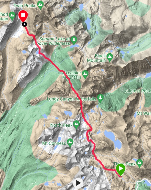
Fantail Lake to Spiller Creek Canyon Distance: 22km Elevation Gain: 1,630m
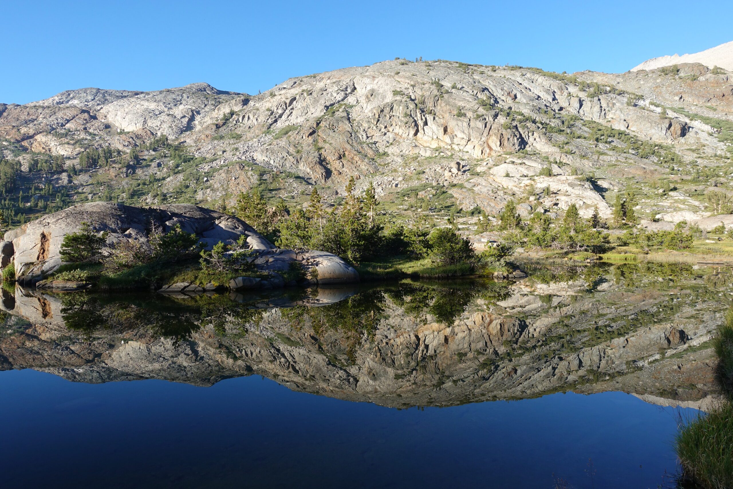
Longest day of the trip. Hiked for 13 hours mostly off trail from Fantail Lake past Spuller Lake, over the East Ridge of Conness Mountain, over Sky Pilot Col and then over Stanton Pass into the Spiller Creek Canyon where I camped for the last time.Early morning reflection on Fantail LakeThe route is up and then right to avoid the steep stuff
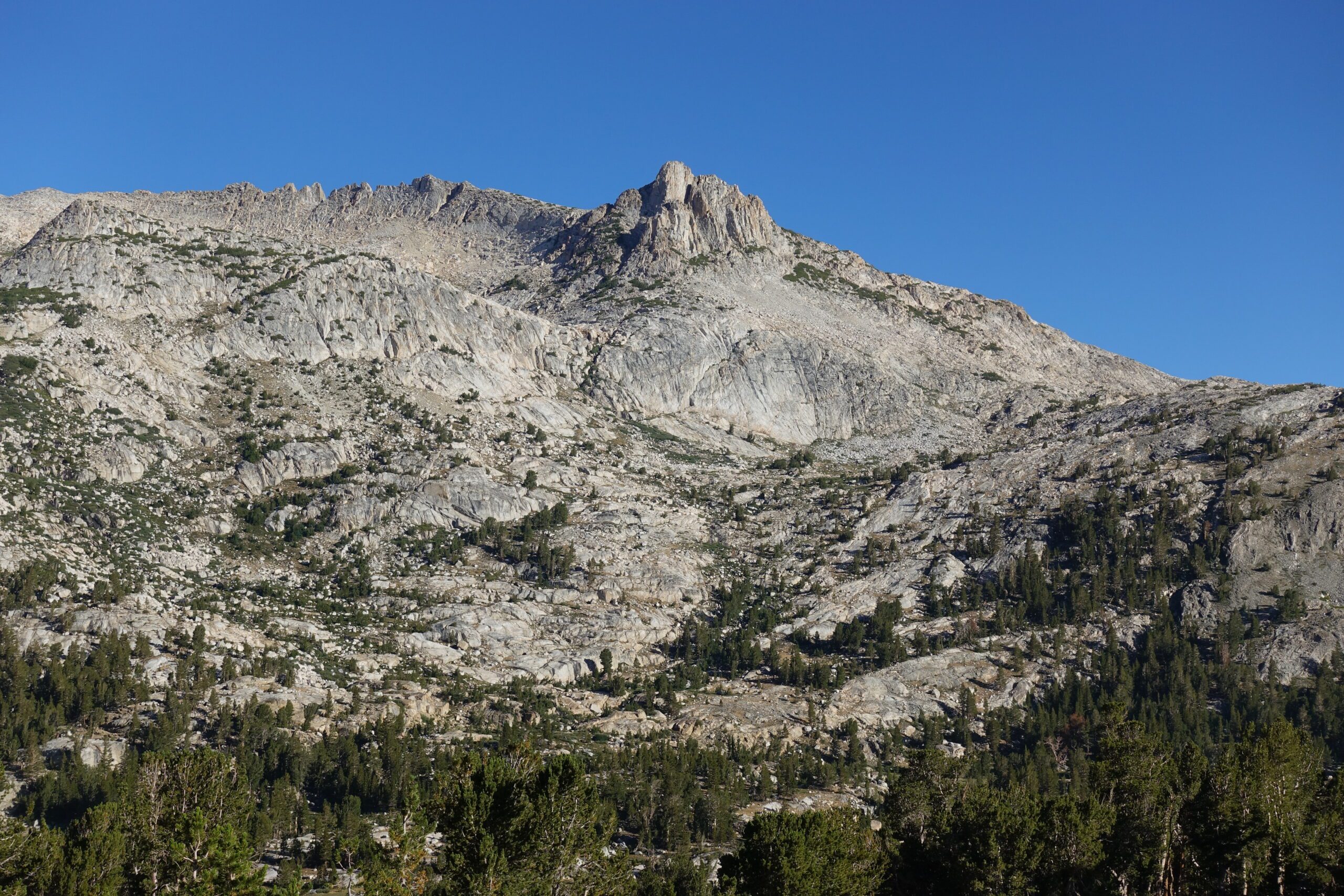
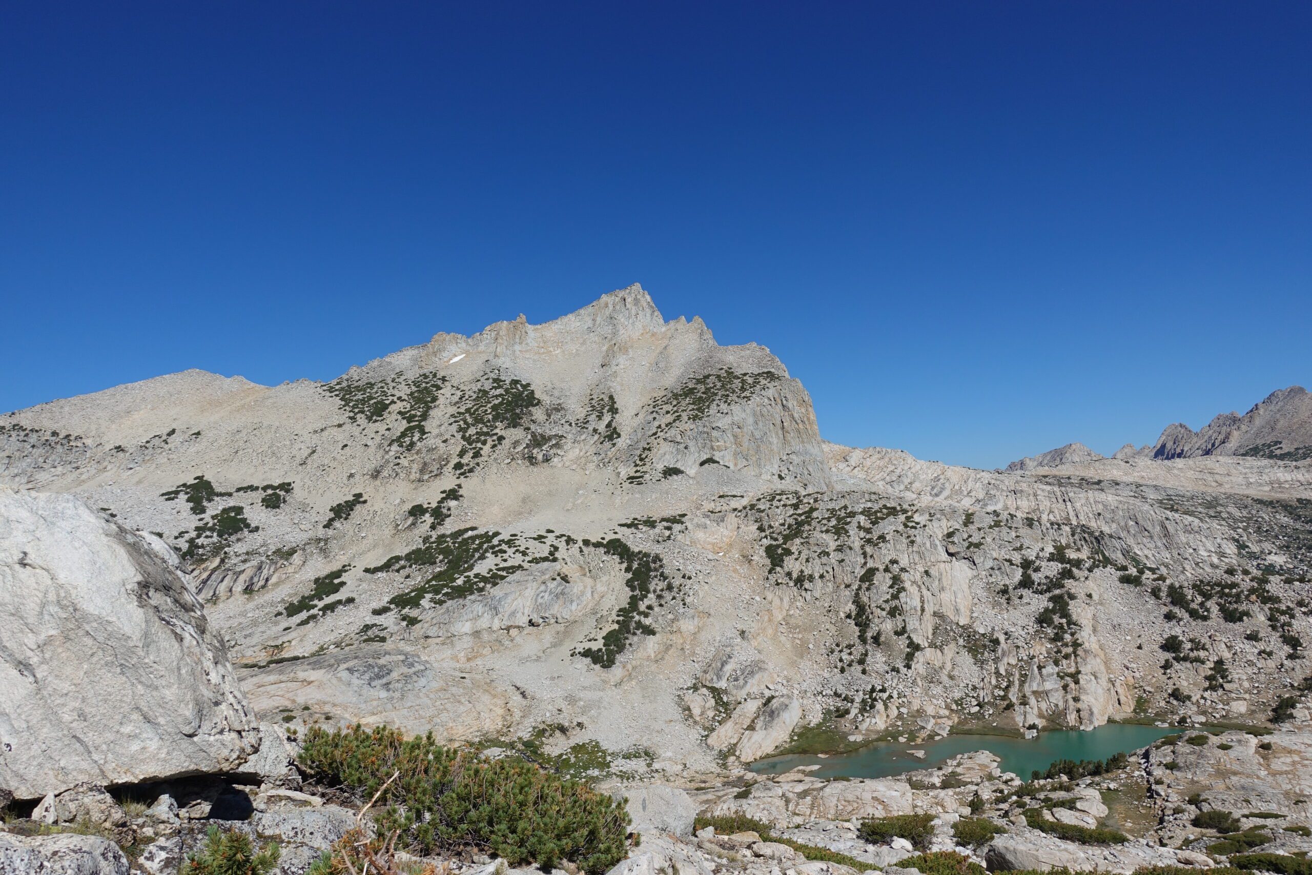
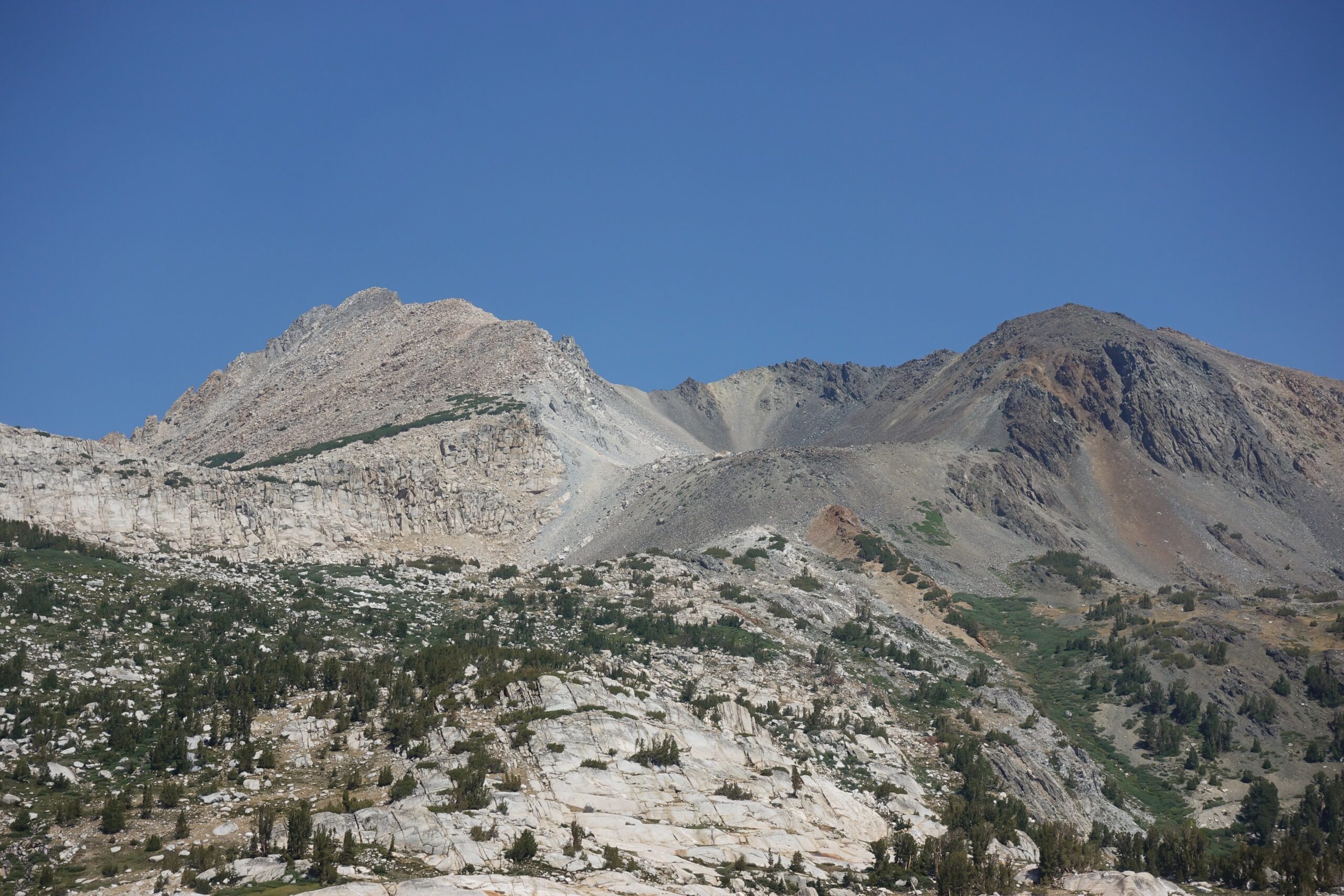
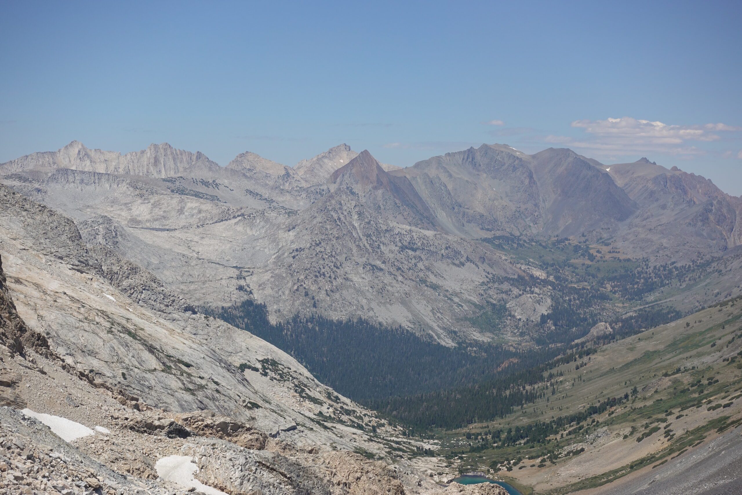
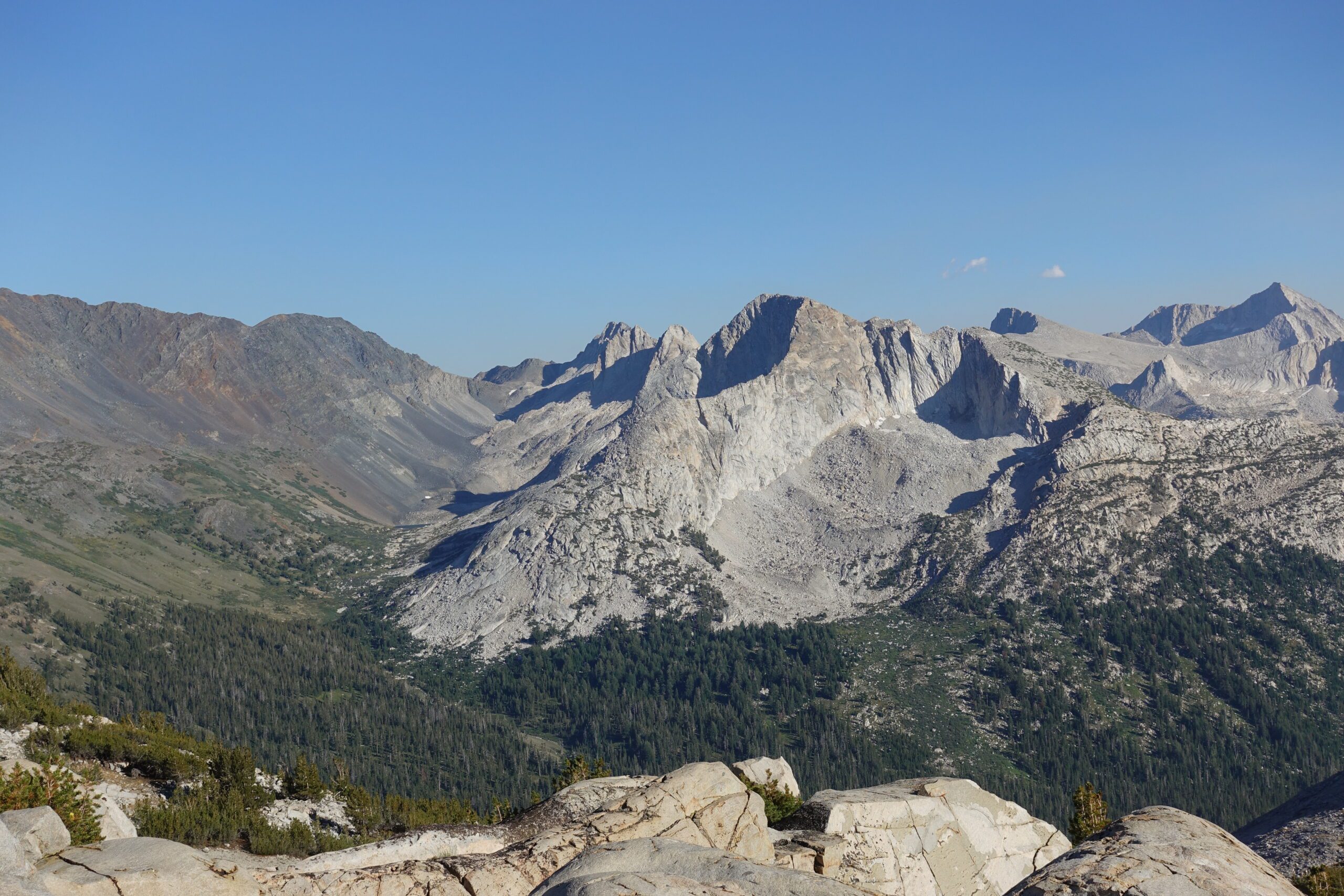
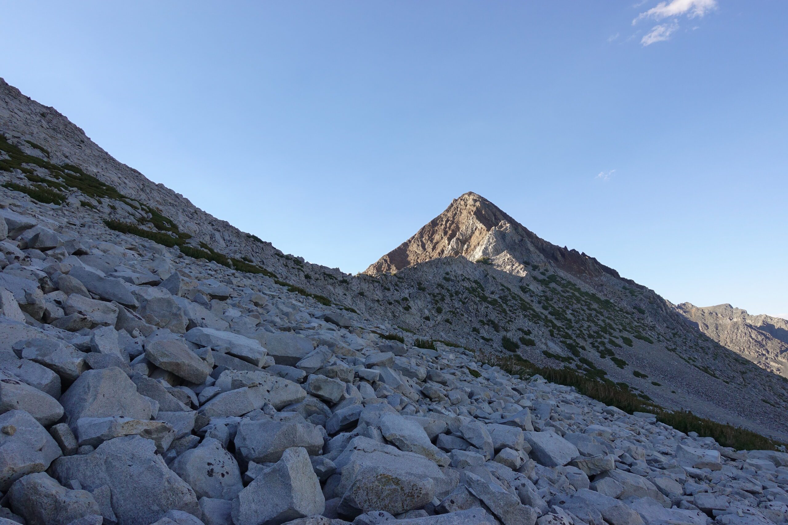
I’m on the other side of the ridge now looking at the way across & downView from the top of the East Ridge of Mt. Conness. Interesting how the mountains on the left are light coloured but dark on the rightLove this alpine areaSkypilot Col is the dark patch in the upper middle part of this photo bordered by lighter coloured rock on both sides. The route goes up the left side of the dark patch.
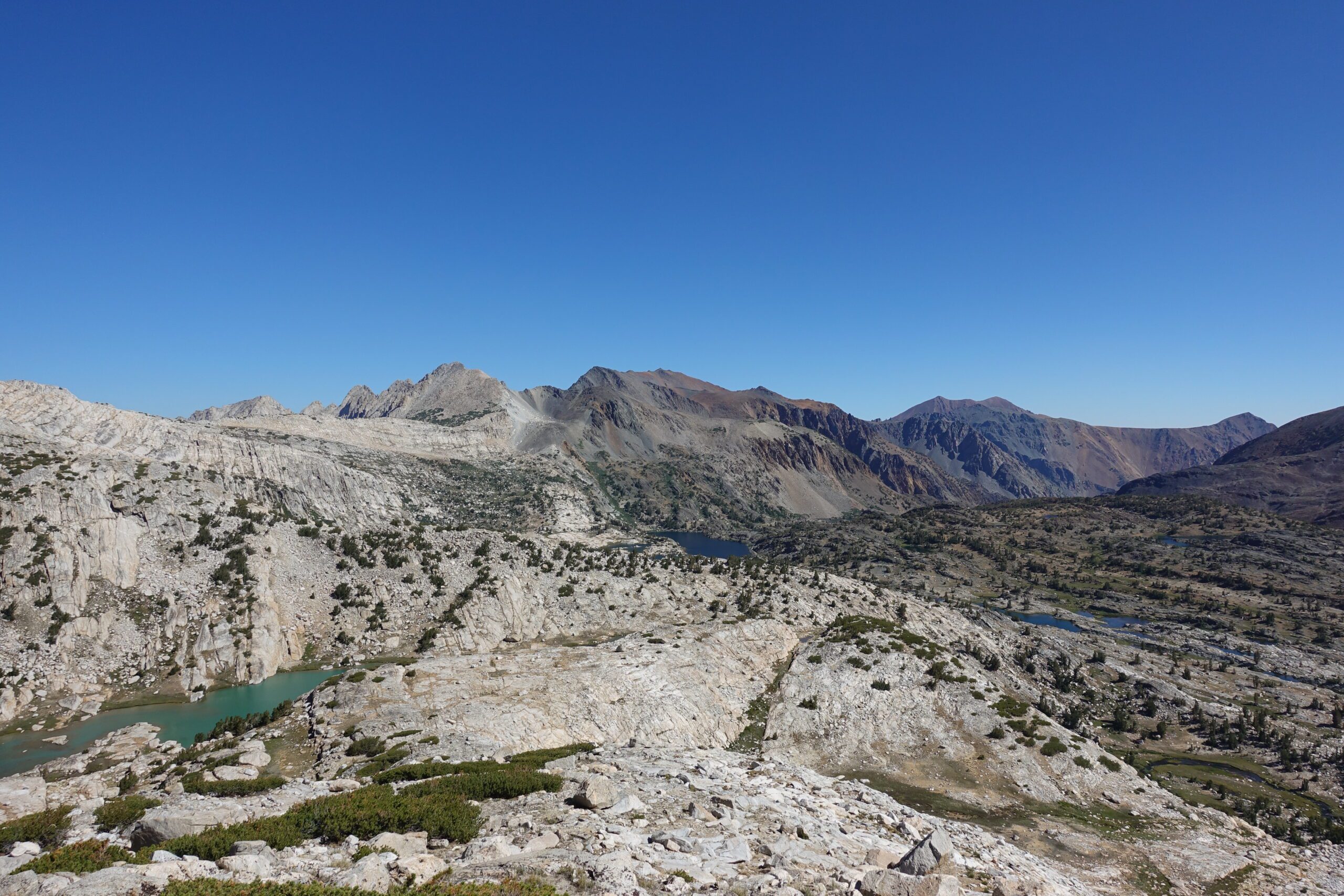
360 view from the bottom of the East Ridge of Mt. Conness. So beautiful. More jagged peaksGetting closer but still lots of elevation to gain
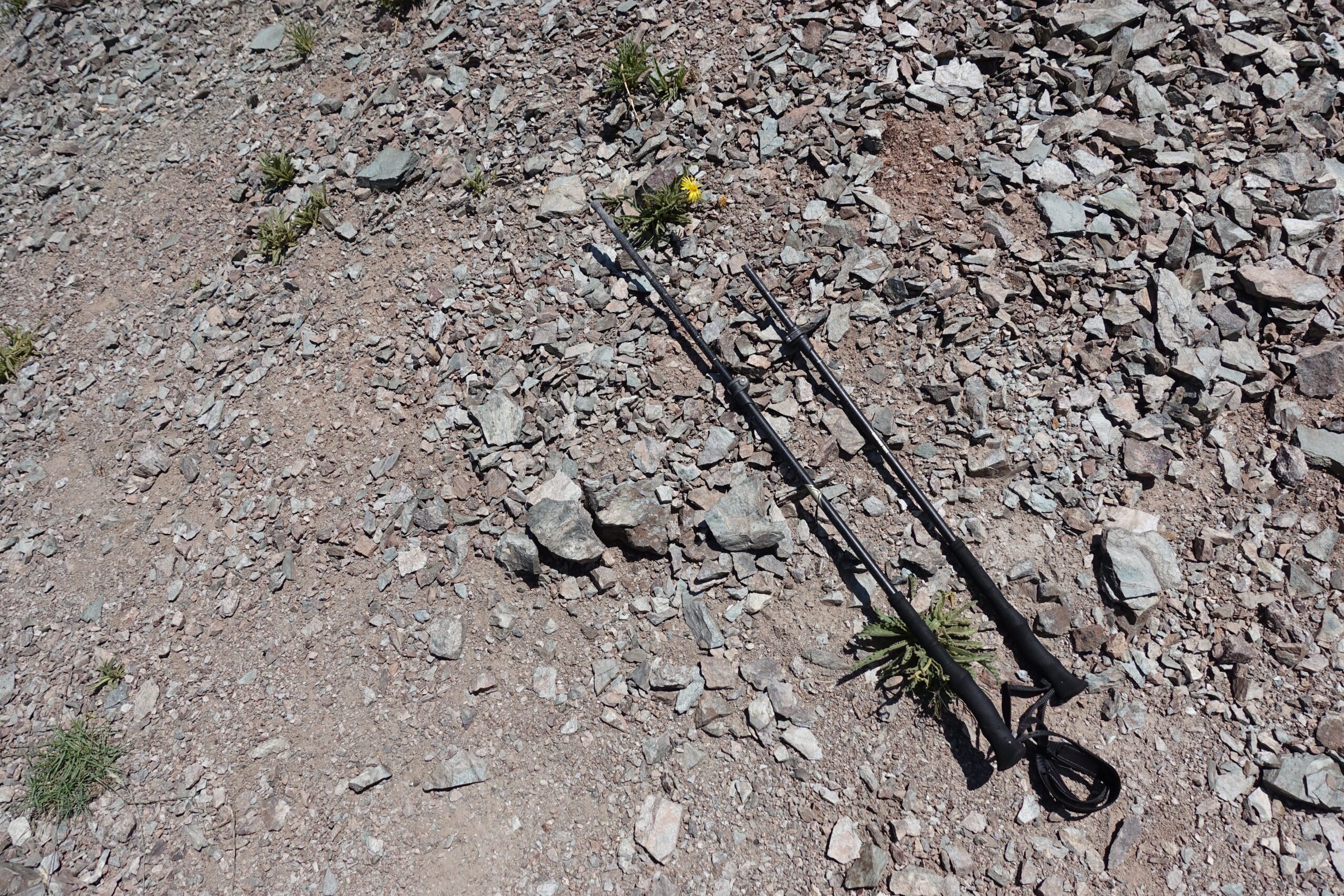
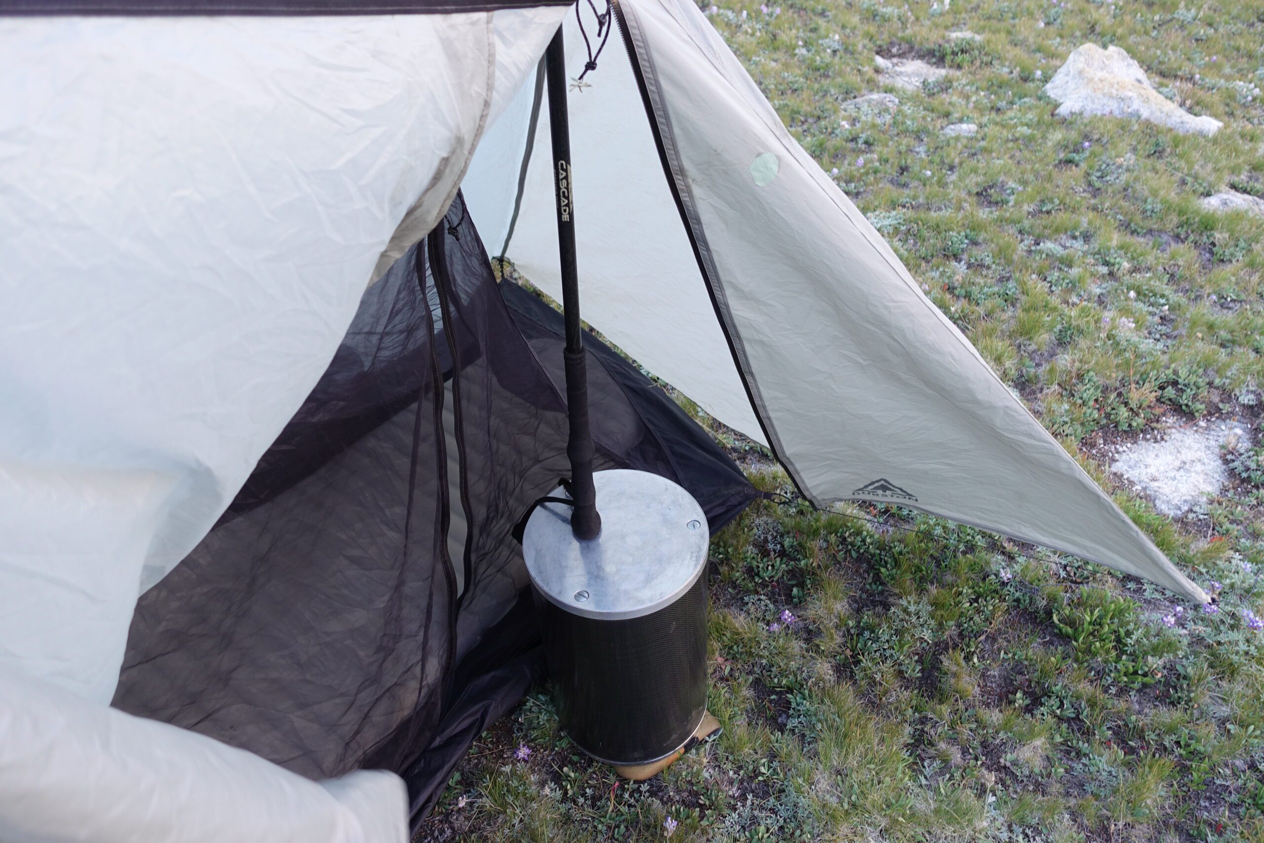
Broke one of my poles in the rocks on the way up. I needed both poles tonight to set up my tent, not sure what I was going to do later.
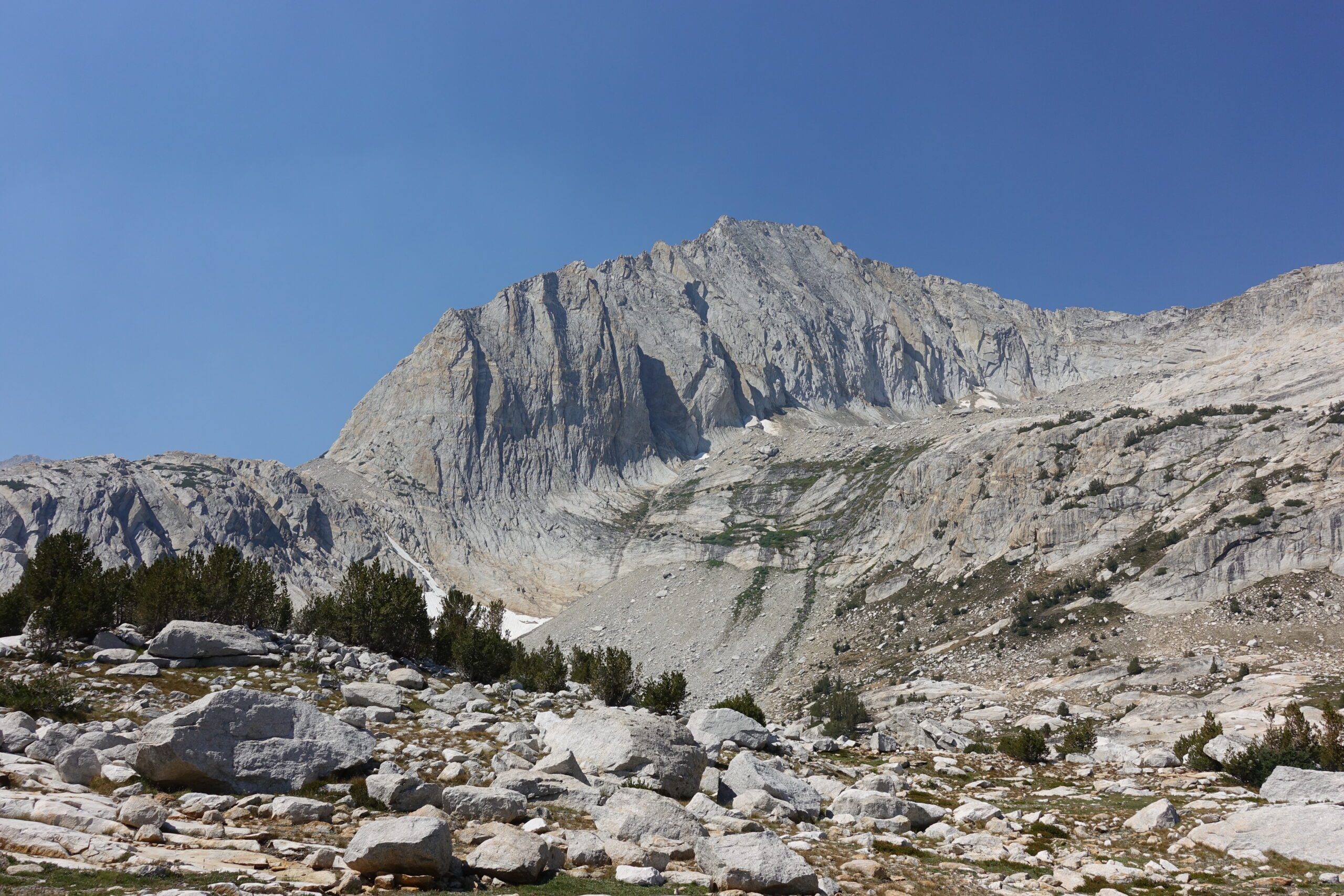
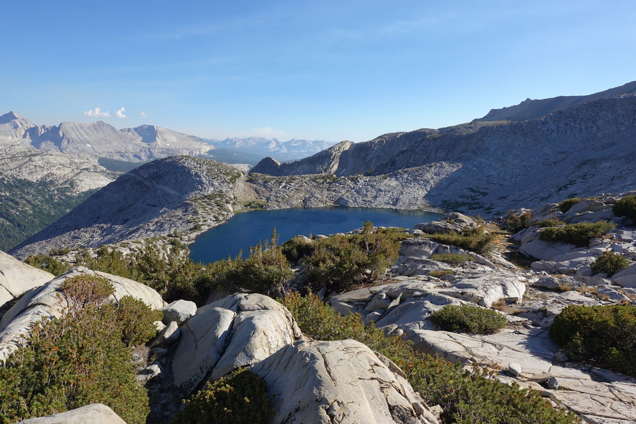
Made it up Sky Pilot Col, incredible view
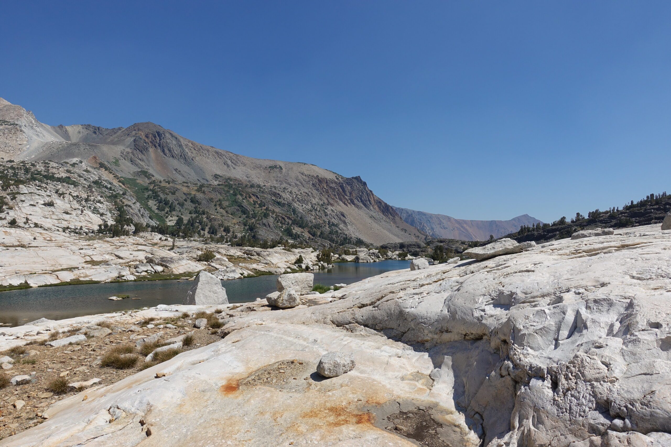
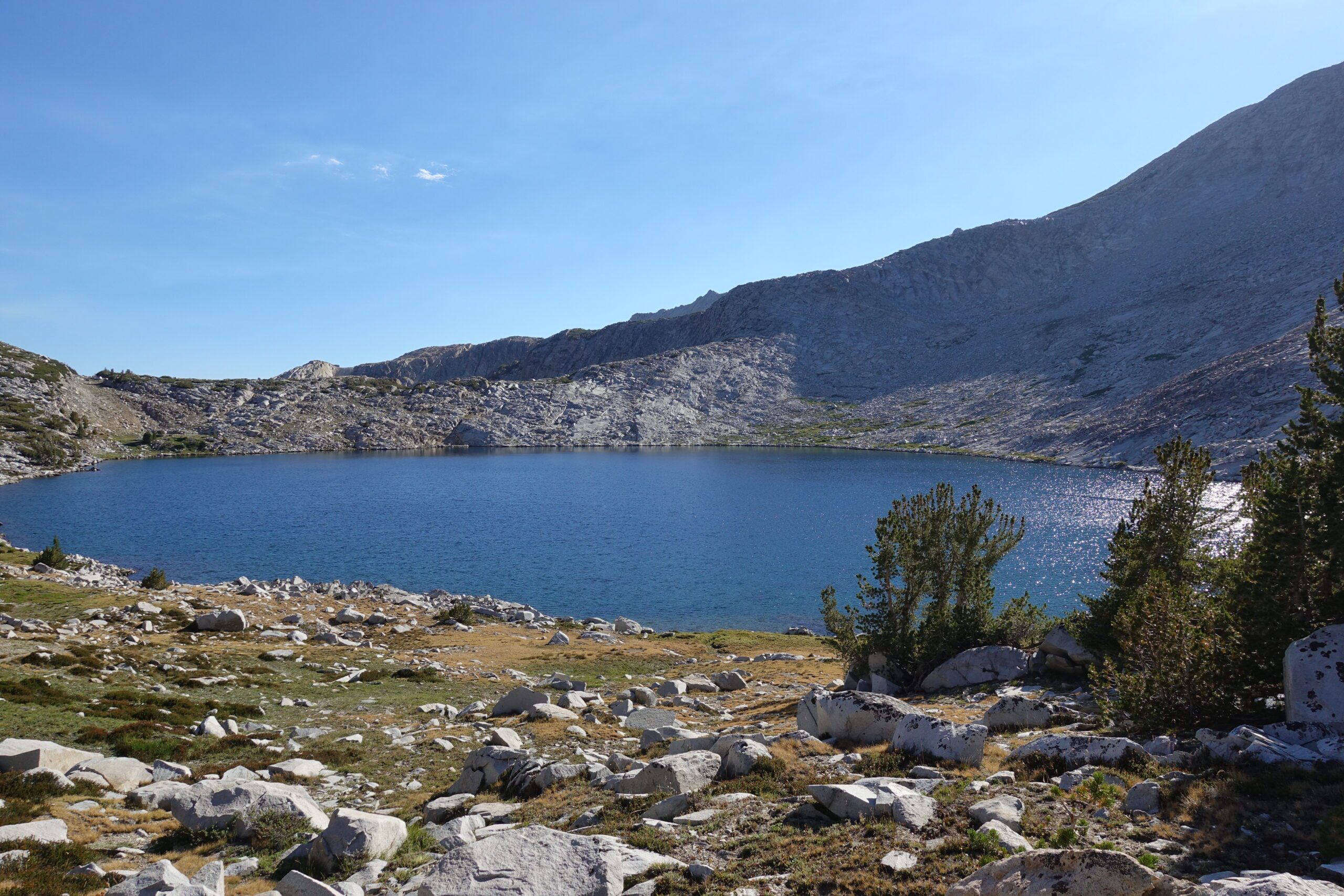
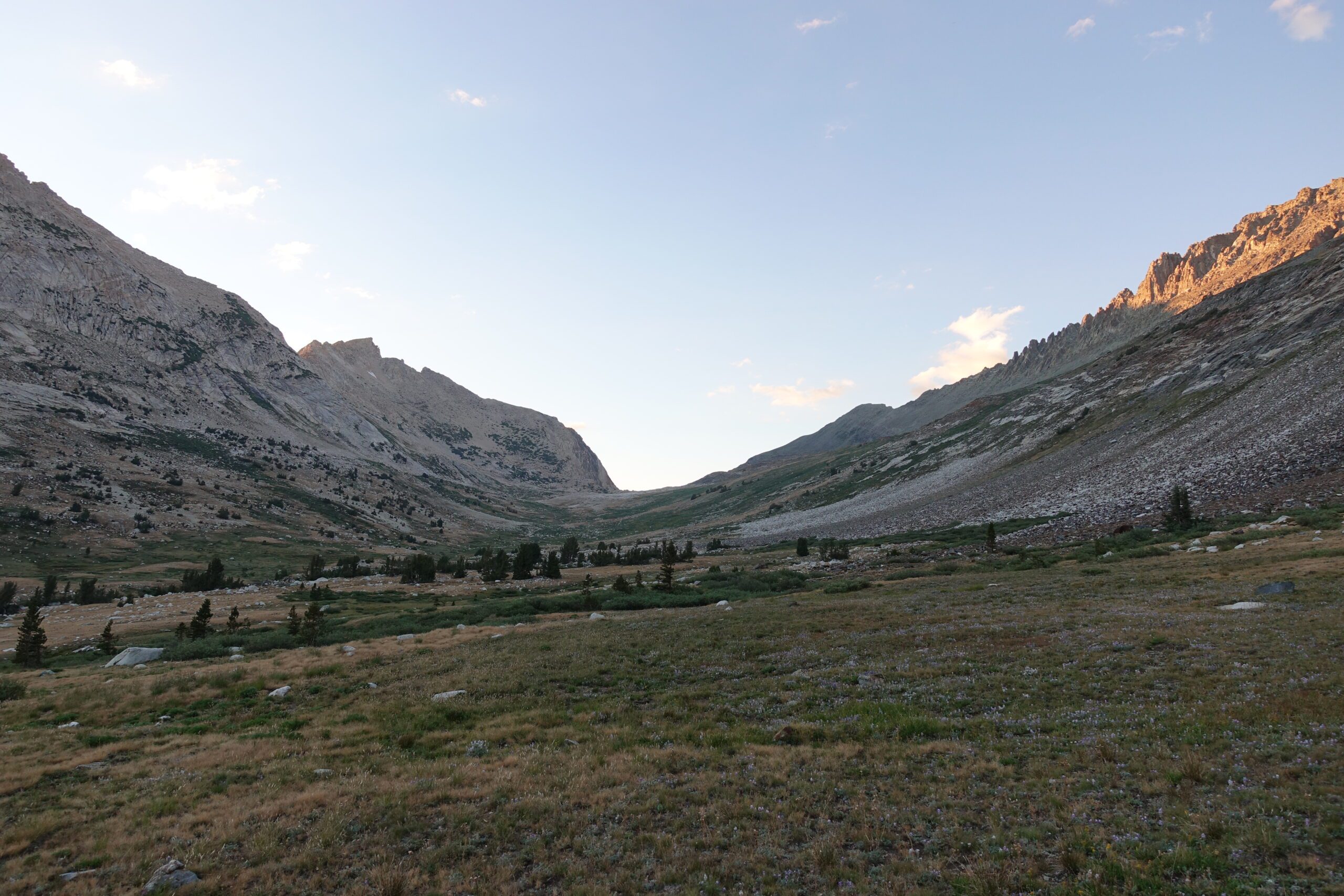
Soooo many boulders, I think they’re breedingThe way forward continues off trail. Down through that forest then upwards past Soldier Lake (pic below) and over Stanton Pass which is to the left of Virginia Peak, the brownish toothlike peak in the middle of this pic.The beautiful Soldier Lake. You can’t see this lake until you breach the ridge. It was about 5:30pm and I startled two campers from San Francisco when I walked past their camp. There aren’t a lot of hikers who come up here so they figured they’d have the lake completely to themselves. I kept moving, this is Soldier Lake from above. I would have loved to have camped at this lake but I wanted to get over Stanton Pass tonight and down into the valley below. I hoped to have a shorter hiking day tomorrow so I’d have time to get to Bridgeport and catch a bus to the airport the day after. Looking back on where I came from today, I hiked the channel left of center and down through the forest. Getting closer to Stanton Pass. I was nervous as I knew coming down from the pass might be sketchy. The other side of Stanton Pass – a maze of cliffs. Getting down was tricky indeed. I spent about 45 minutes attempting sections, backing off, trying another line and backing off until I finally found a safe way down. Phew, it felt good to get that one over with. I was felt so relieved and allowed myself some celebratory fist pumps. Spiller Creek Canyon was so beautifulMy bear cannister to the rescue! It was just the right height to support my broken pole.
This was it! All the hard hiking was finished. One easy pass to cross tomorrow and the rest would be downhill. Might be 5 hours of hiking left. Honestly I didn’t know how to feel. I was ready to head home the next day but at the same time I didn’t feel burnt out from hiking. I think the length and difficulty of this route was ideal.