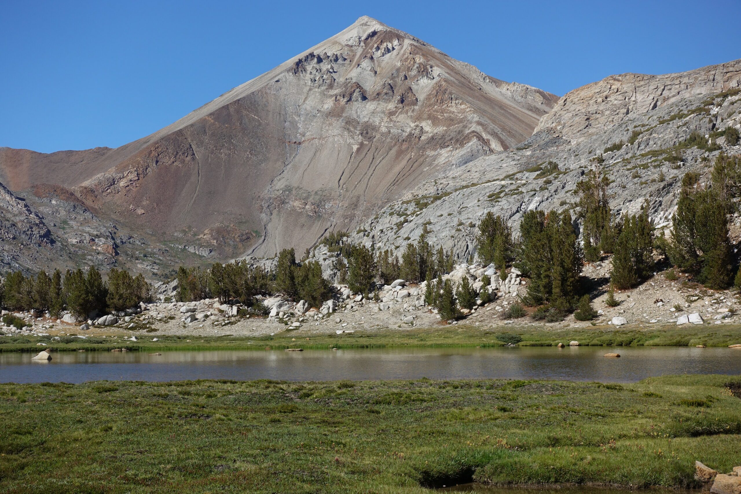
Mono Creek Tributary to Lake Virginia
Distance: 27km Elevation Gain: 1,300m
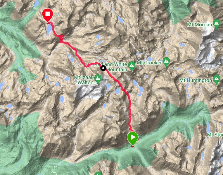
Crossed the Mono Creek tributary and then Mono Creek itself, hiked up Big Horn Pass, Shout of Relief Pass and then on trail to the beautiful Lake Virginia.
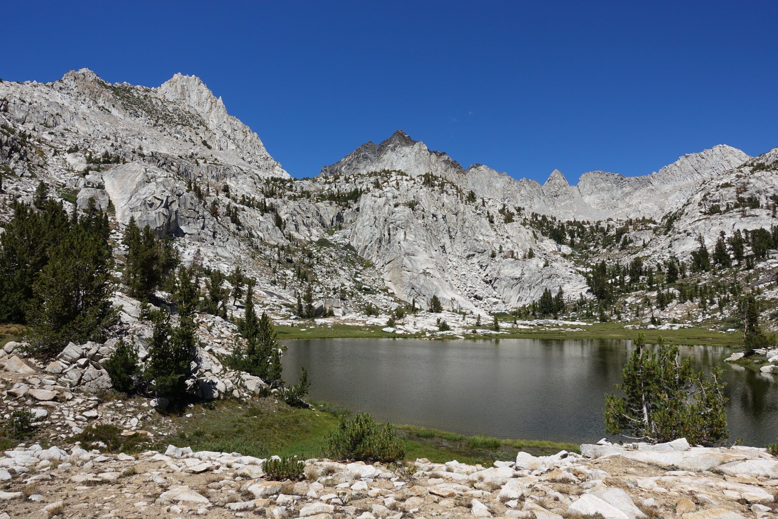
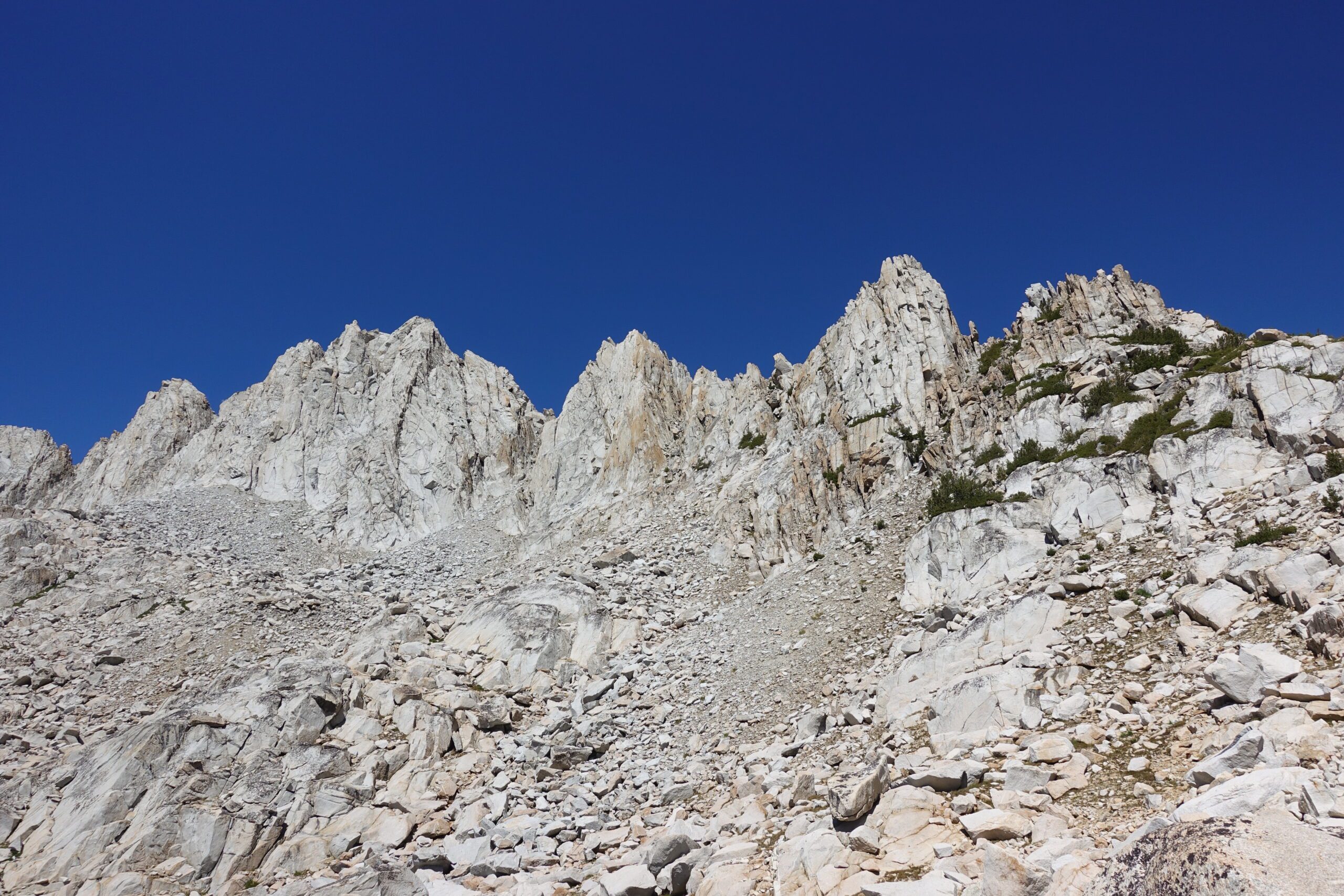
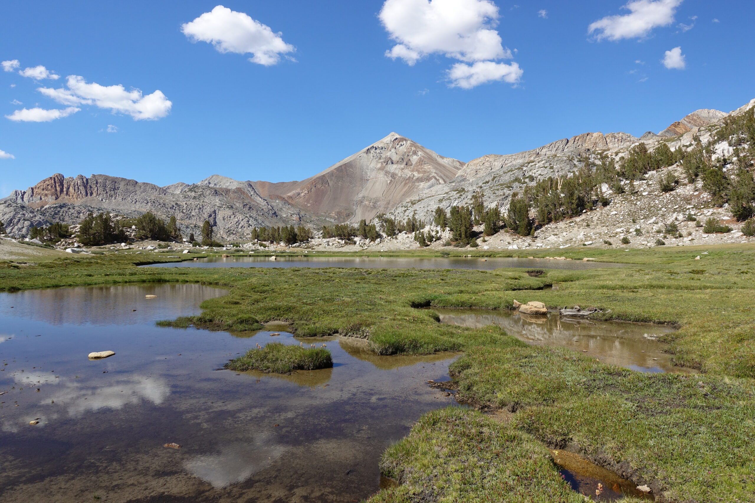
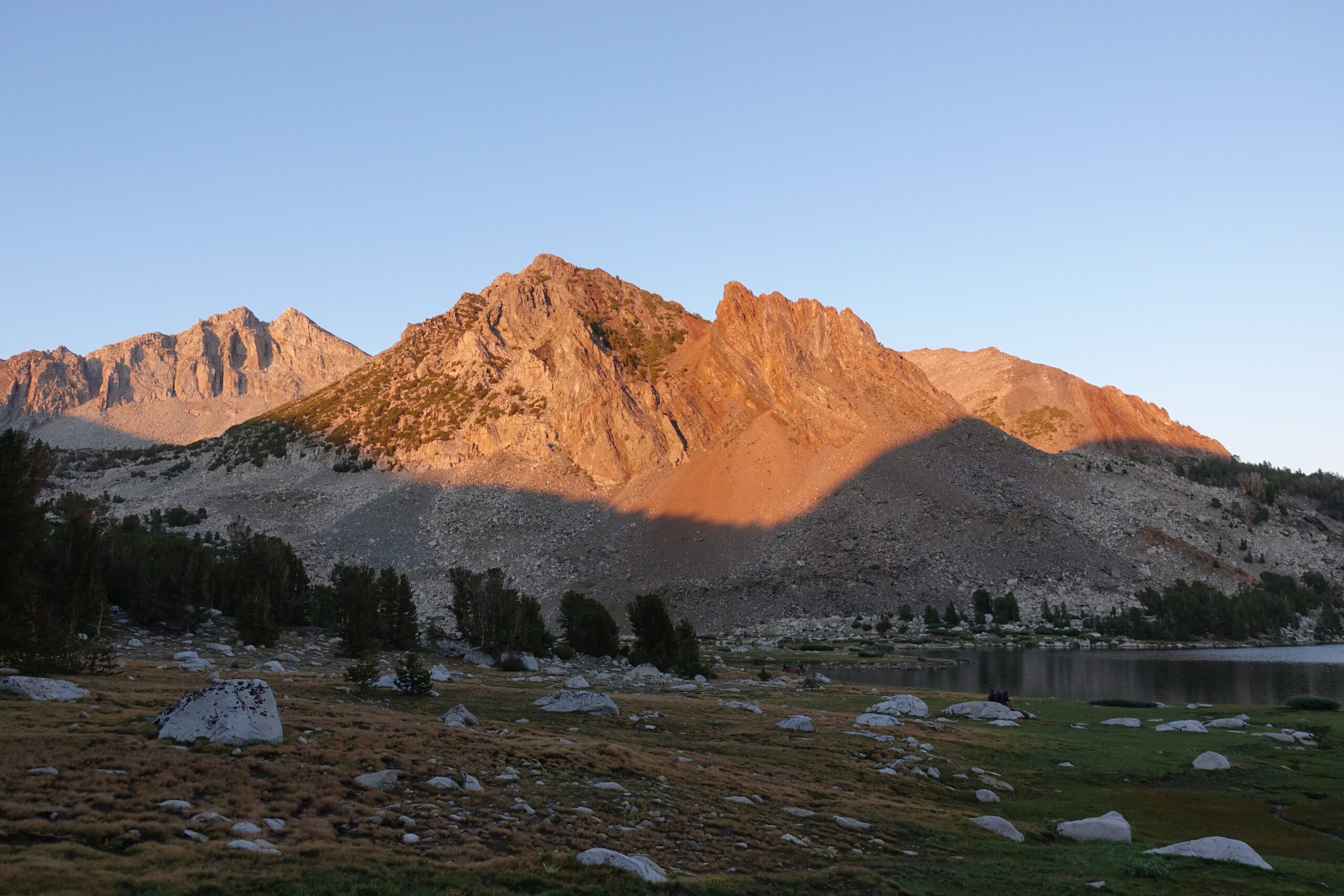
Mono Creek Tributary to Lake Virginia
Distance: 27km Elevation Gain: 1,300m